

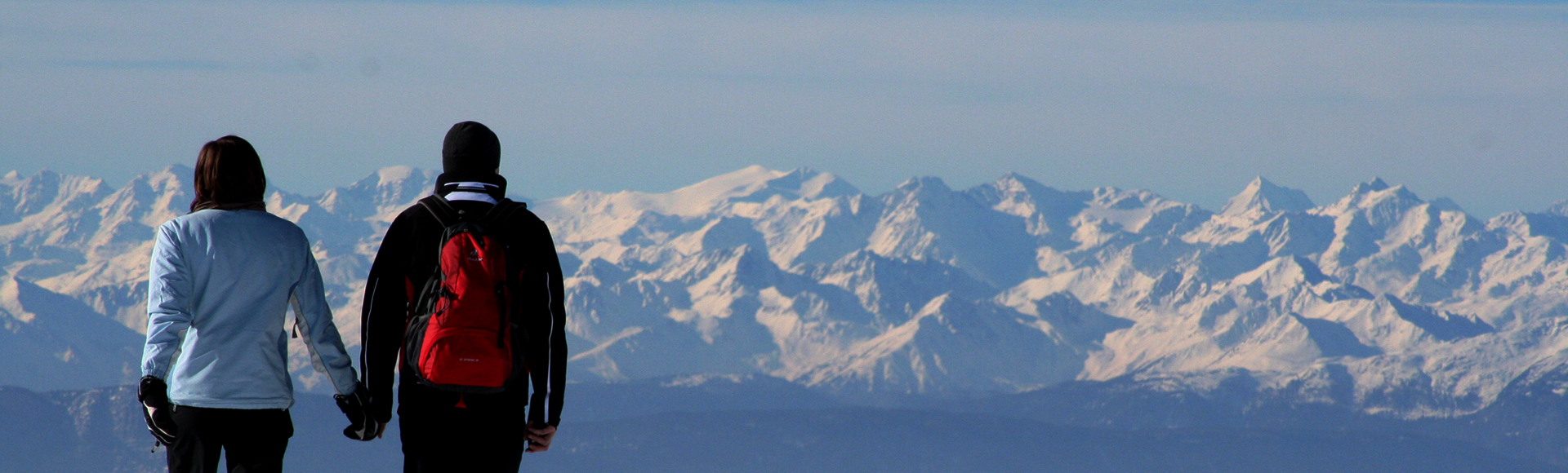
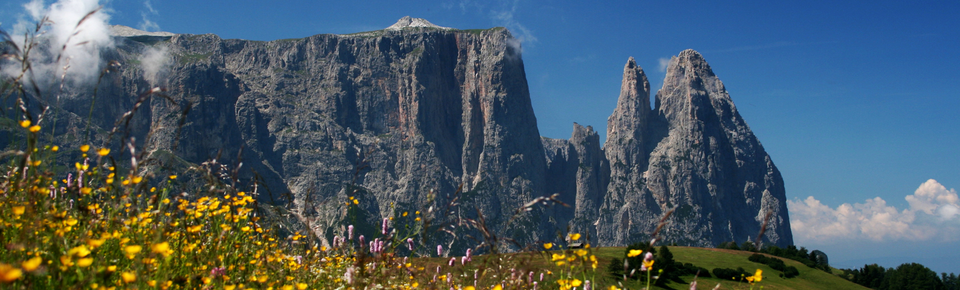

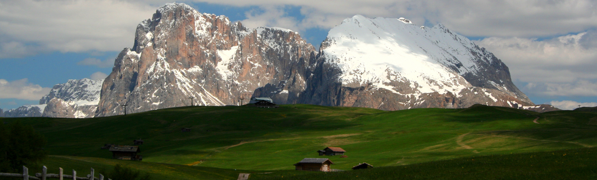
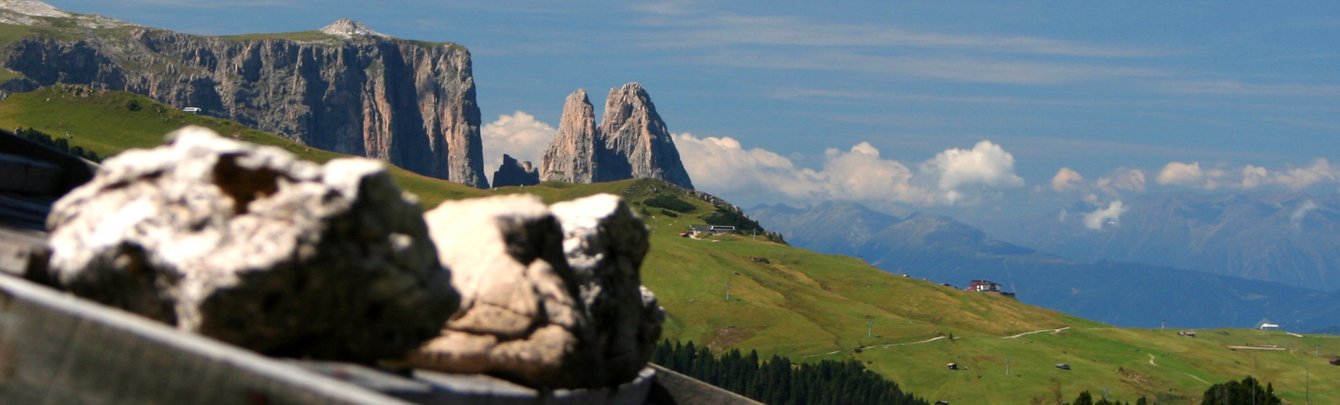
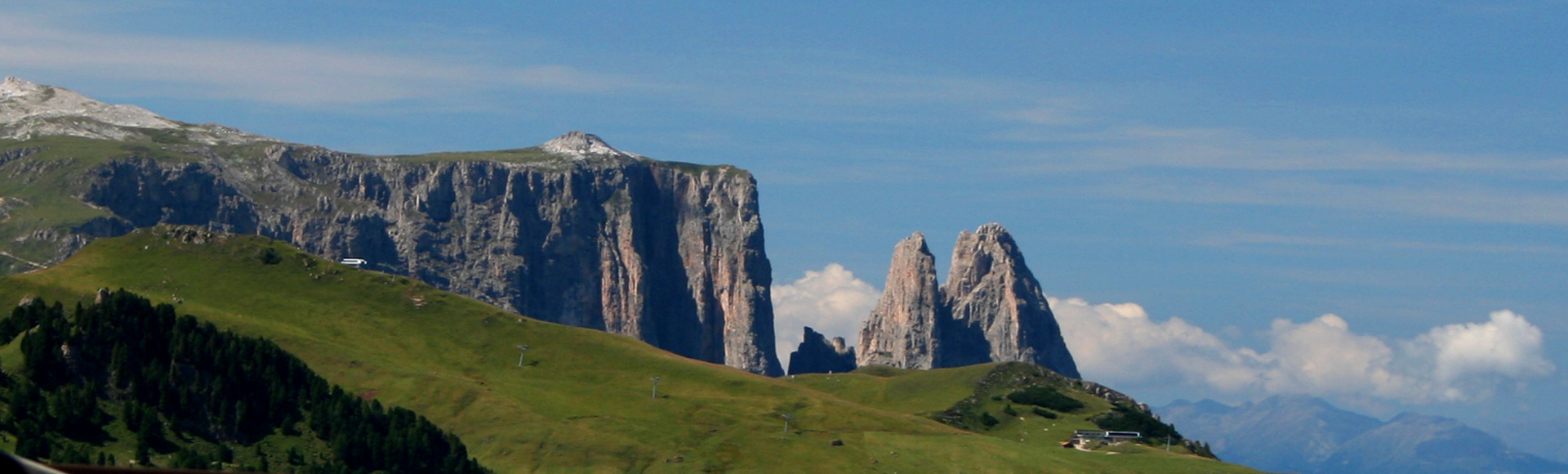
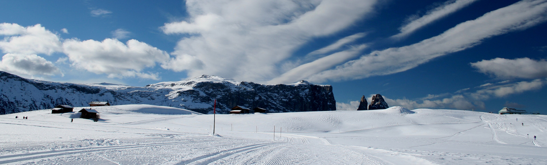
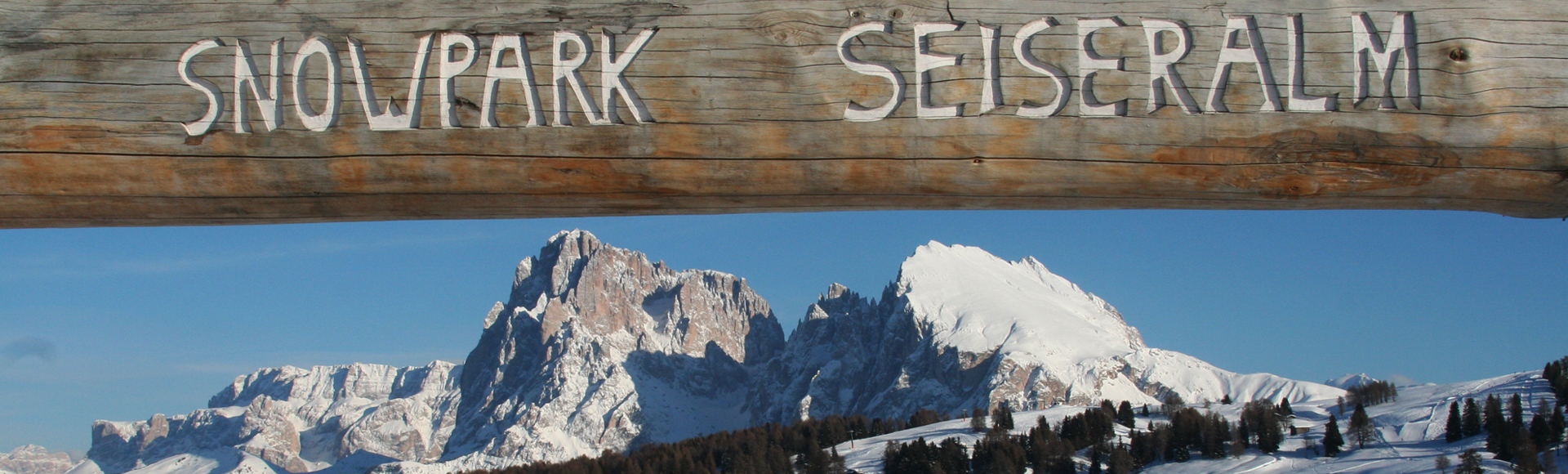


Europe’s vastest expanse of Alpine pastureland and South Tyrol’s own Table Mountain, the Sciliar/Schlern, lure both walkers and witches.
Name: Alpe di Siusi (Italian), Seiser Alm (German), Munt de Suc (Ladin)
Area: 57 km² = 8.000 football pitches
Elevation: 1,680 to 2,350 m (5,512 to 7,710 ft)
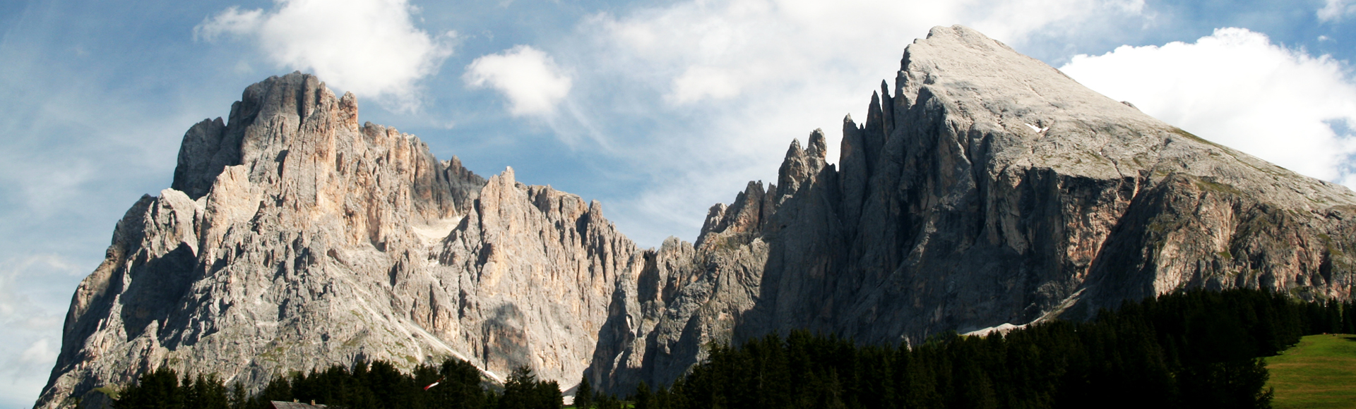
Summits: Monte Pez/Petz (2,563 m), Gr. Rosszahn (2,653 m), Roterdspitz (2,655 m), Puflatsch (2,174 m)
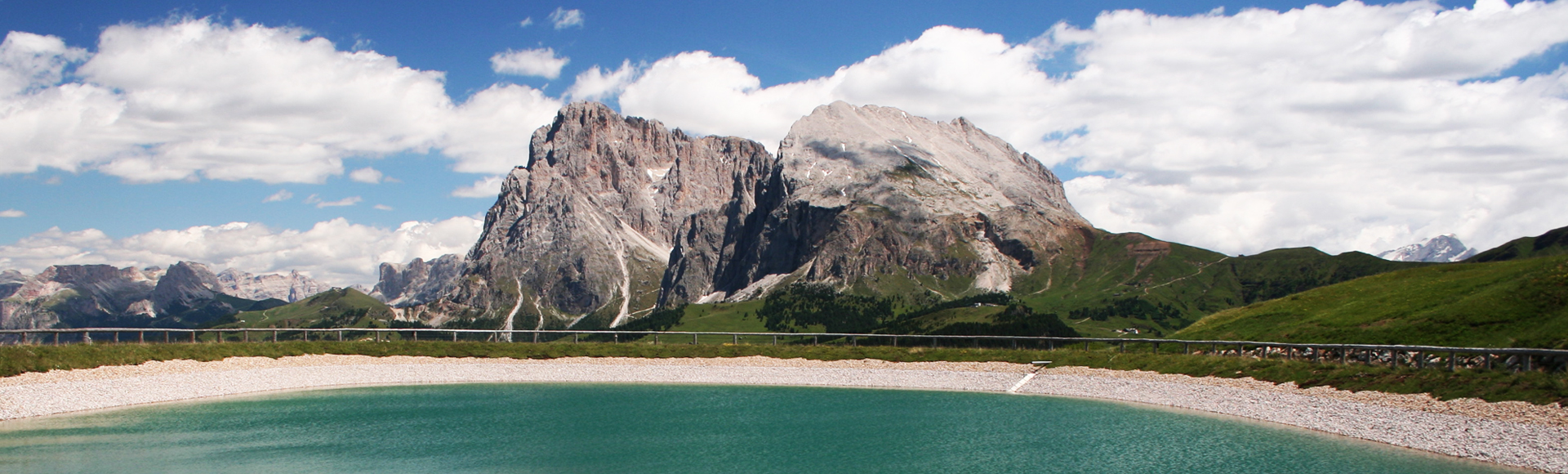
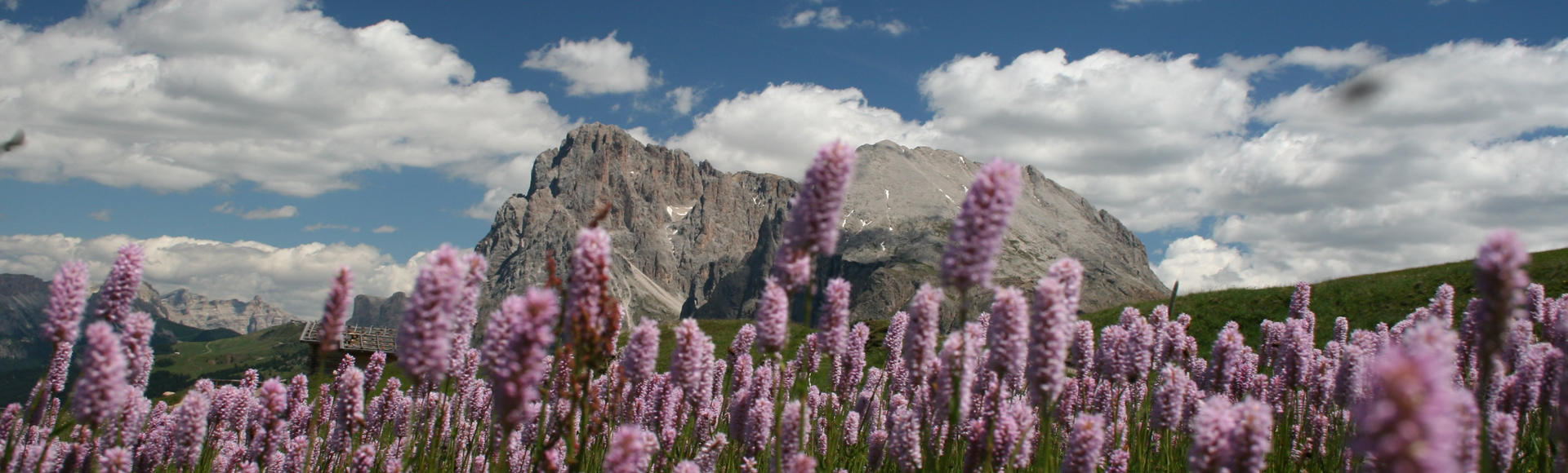
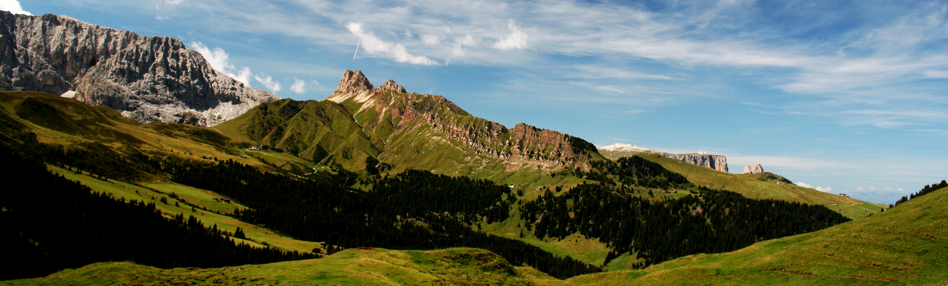
Location: The Alpe di Siusi/Seiser Alm is situated above the villages of Castelrotto/Kastelruth and Siusi allo Sciliar/Seis am Schlern. It is bordered by Val Gardena/Gröden valley to the north, Sasso Piatto/Plattkofel and Sasso Lungo/Langkofel Dolomite massifs to the west, and the Sciliar/Schlern massif to the south.
SUMMER
Walks and hikes: i.e.
- Up to the Sciliar/Schlern: top terminal of the gondola lift at Compaccio/Kompatsch – Saltner Hütte refuge – Rifugio Bolzano/Schlernhaus refuge – Monte Pez/Petz (6 hrs)
- Geological trail: Bad Ratzes – Prossliner Schwaige – Schlernboden – Bad Ratzes (5 hrs)-> Schlern witches tour: Compaccio – Arnika-Hütte – Hexenbänke rocks – Compaccio (2 ½ hrs)
Secured climbing routes (vie ferrate/Klettersteige):
- Maximilian “Klettersteig” to the Tierser Alpl refuge
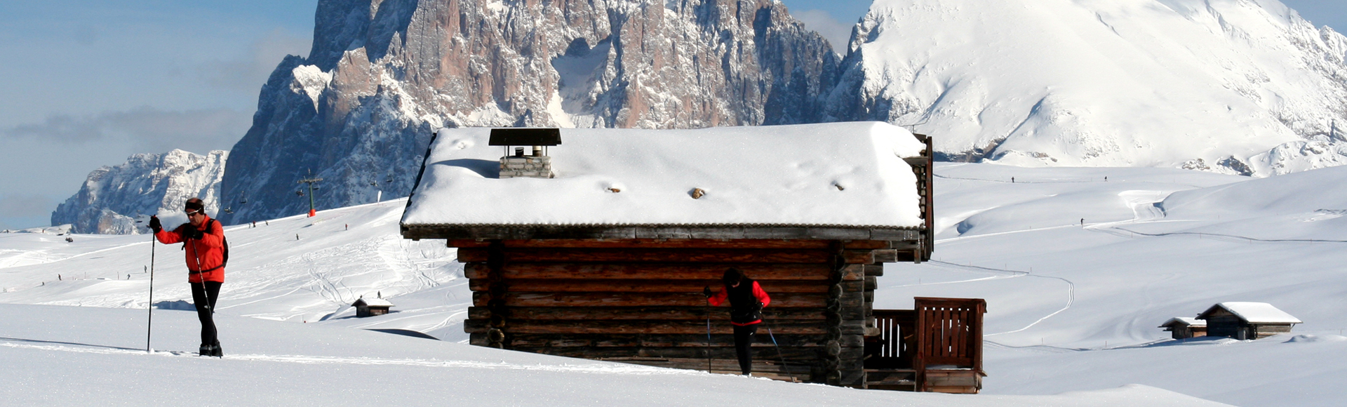
Refuges: Saltner Hütte (1,830 m), Zallinger Hütte (2,037 m), Schlernhaus (2,450 m), Tirler mountain inn (1,741 m), Gostner Schwaige farmstead (1,930 m) above sea level
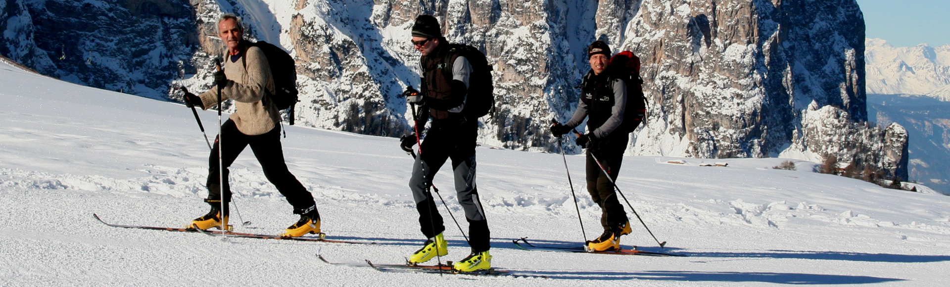
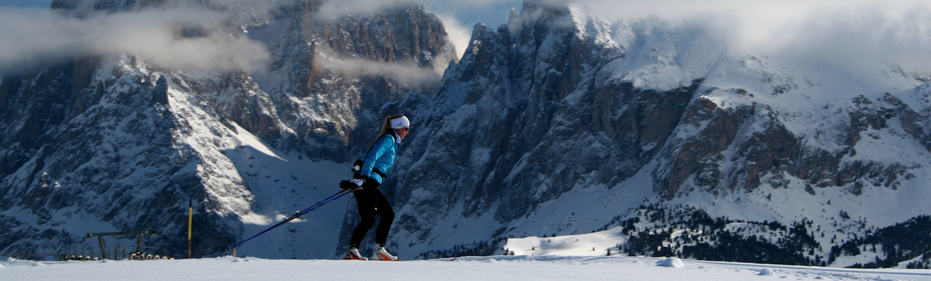
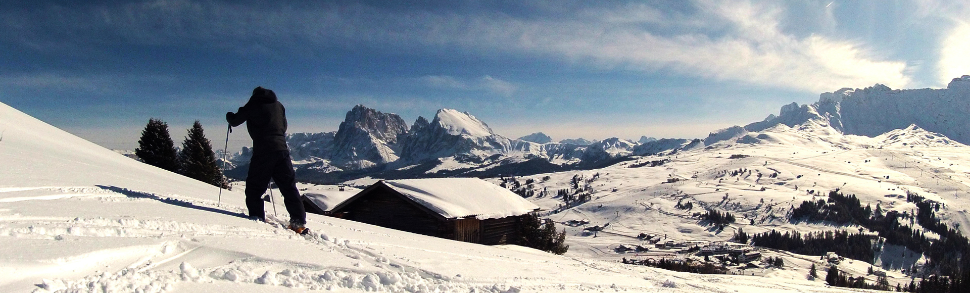
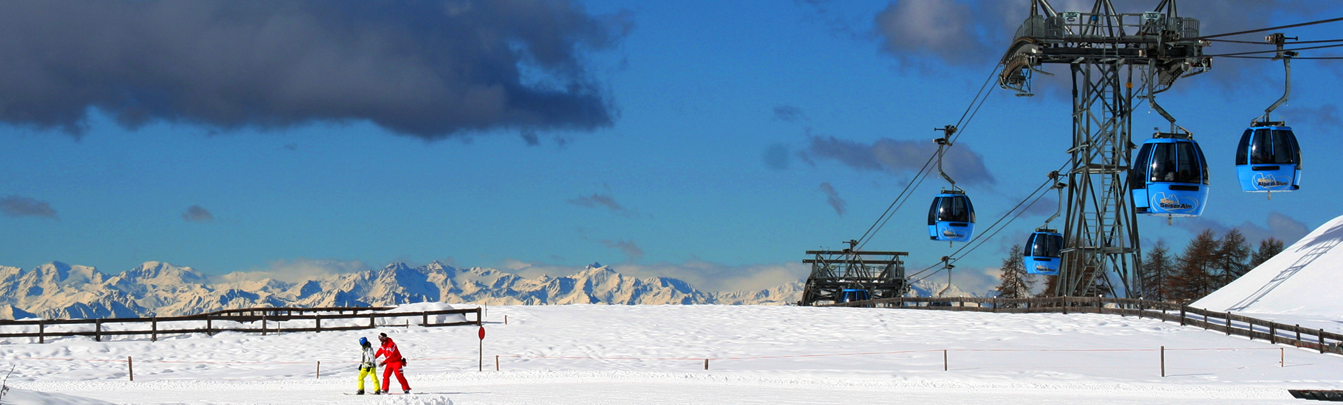
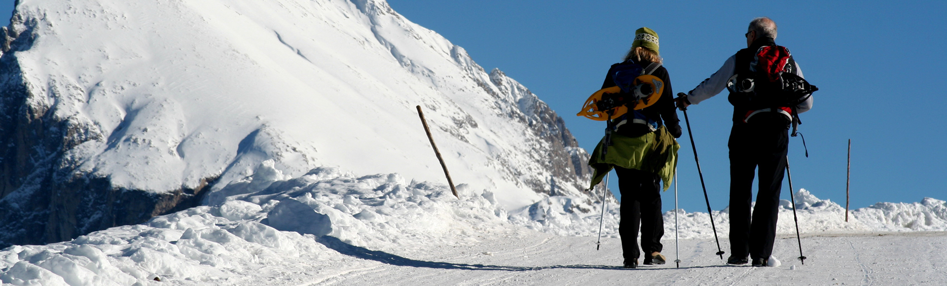
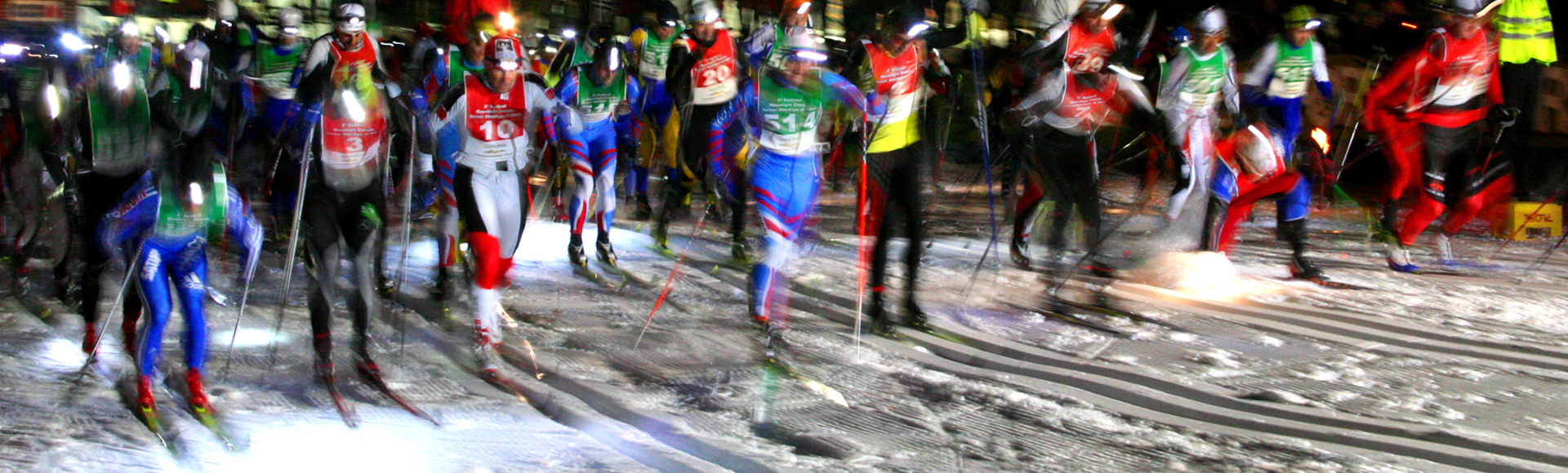
WINTER
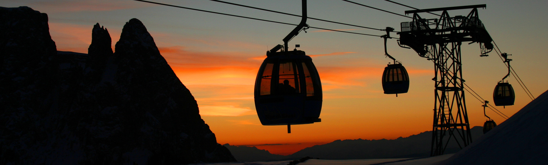
Ski resort: The Alpe di Siusi/Seiser Alm ski resort boasts over 60 kilometres of downhill runs and 22 lift facilities. It belongs to the Dolomiti Superski, the world’s largest inter-connected ski resort association. The downhill runs into Val Gardena connect with the Sella Ronda circuit.
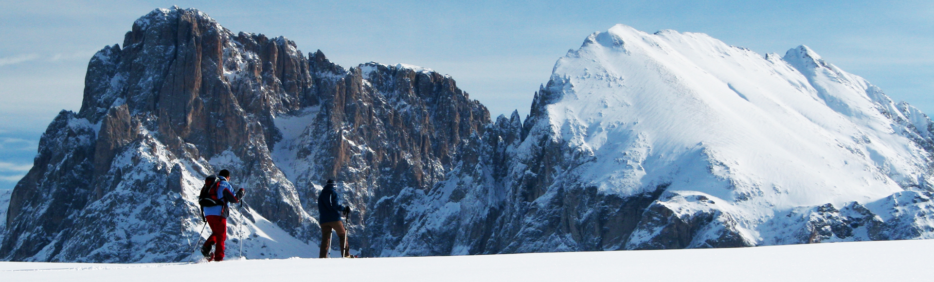
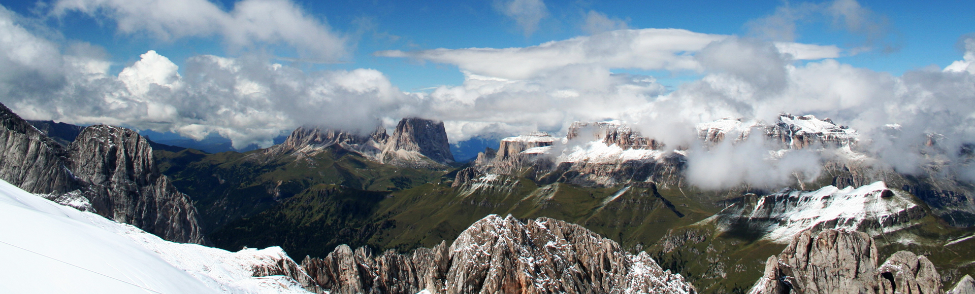
Alpine back-country skiing: Sasso Piatto/Plattkofel, Forcella dei Denti di Terrarossa/Rosszahnscharte, Forcella del Sassolungo/Langkofelscharte
Other winter sports:
- 60 km cross-country trails
- 30 km winter walking paths
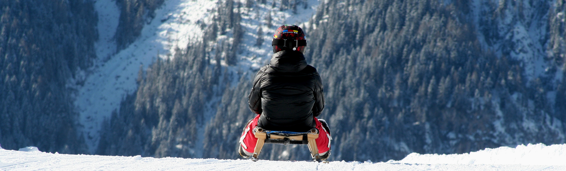
- 7 toboggan runs
- 1 snowboard park
History: The Alpe di Siusi was already populated by humans in the Stone Age. Ancient people were drawn above all by rich hunting grounds in summer, revealed by finds of flint arrow tips. The undulating terrain was probably cleared and used for grazing by the Bronze Age. Stone work from the Roman era was discovered during building work. A hoard of coins found there, probably deposited by herdsmen, date back to the 4th century AD.
Regular Alpine farming on this high plateau did not begin until the High Middle Ages. At this time the area was already immensely popular among the nobility for hunting expeditions.Ridge beams in the Alpine huts only date back to the 16th century. It is thought that the pastures were abandoned during the “Little Ice Age” in the 15th and 16th centuries and during this period the forest reclaimed large areas of agricultural land.
During the 1930s the high plateau was made accessible by cable cars. Hotel and restaurants opened and walkers were regaled in the traditional Alpine farmhouses called “Schwaigen”. The road was built after the Second World War and the Alpe di Siusi became a popular winter sports resort.Today the road up to the pastures from Siusi is closed to private motor vehicles from 9am to 5.00pm. The gondola lift is an environmentally friendly alternative.
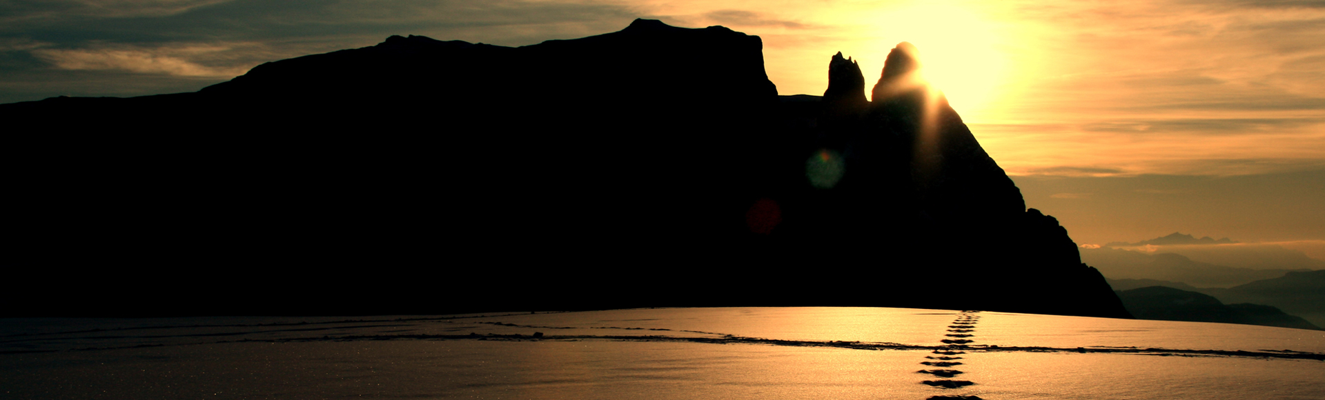
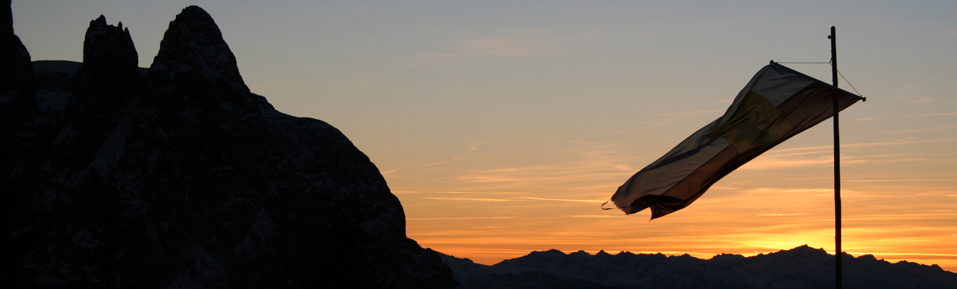
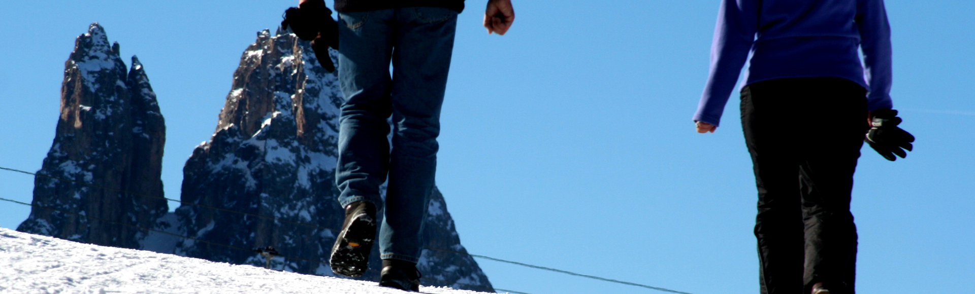
Mythology: The Sciliar mountain with its two independent horn-like peaks, the Santner Spitze (2,414 m) and Euriger Spitze (2,397 m) has been steeped in legend since time immemorial. It was thought that witches held covens there where the Hexenbänke witches benches, a striking rock formation, are located.
Quelle: https://www.suedtirol.info